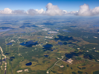
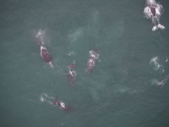
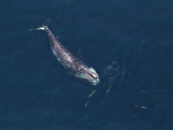
Hatfield is a technical leader in the use of remote sensing technology for environmental monitoring and assessment. Building on decades of scientific experience with optical, radar, lidar, and remotely piloted aerial systems data, we apply cutting-edge approaches to acquire, manage, and analyze data to deliver products and strategic insights. Working with Hatfield ensures:
- Multi-data approach: based on your needs, we develop cost-effective solutions using open and/or commercial data.
- Advanced analytics: cutting-edge artificial intelligence and computer vision, object-based image analysis, hyperspectral data analysis, and time-series analysis techniques.
- Scientific approach: validated products and processing methodologies with scientific reporting.
Our expertise across sectors and domains enables Hatfield to provide robust and proven remote sensing services, including:
- Ecosystem disturbance and restoration assessment
- Wetland inventory and classification
- Coastal habitat assessment and monitoring
- Forest fuels assessment using our arboSense Fuels solution and wildfire impact mapping
- Forest extent, height, canopy cover, and biomass, from boreal to tropical ecosystems
- Surface water dynamics, including seasonal inundation and river and lake ice
- Forest Leaf Area Index (LAI) for water balance studies
- Land use and land use change and forestry (LULUCF) and activity data generation for carbon projects and accounting
Why Hatfield?
Hatfield is a trusted advisor to government, private sector, and non-government clients on the use of remote sensing technology for environmental monitoring and management around the world. We regularly support international space agencies, international finance institutions, conservation organizations, and major companies with scientific and strategic consulting and data analytics.

