Earth Observation for Oil and Gas
Client
European Space Agency (ESA)
Location
Multiple Countries
Project Duration
April 2014 – November 2015
Background
Over the past 20 years, oil and gas companies have used satellite Earth observation (EO) technology, throughout the entire project lifecycle from pre-acquisition to full operations and decommissioning. The European Space Agency (ESA) began working progressively with the oil and gas industry to demonstrate how new developments in EO services might be used by the sector, and to enhance industry understanding of the benefits of EO technology in operational settings.
Hatfield led a consortium of four companies providing EO and other services to the onshore oil and gas sector to implement the Earth Observation for Oil and Gas (EO4OG) project. The project aimed to provide a base for the potential development of EO guidelines for the onshore and offshore oil and gas sector.
Services Provided
The Hatfield EO4OG project team engaged with the oil and gas industry through the International Oil and Gas Producers Association (IOGP), and their EO Sub-committee of the Geomatics Committee, to understand industry-specific geo-information requirements and challenges within seismic planning, surface geology mapping, subsidence monitoring, environmental monitoring, logistic operations, and survey planning. This covered the full project lifecycle from pre-license acquisition, exploration, development, and production phases, through to the decommissioning phase.
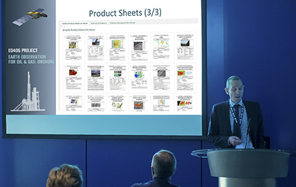
After completing the engagement process, Hatfield then assessed the capabilities of EO technology to address the specific challenges and needs identified by the industry. Capabilities were documented in the form of EO “product sheets” and case studies of applications in the oil and gas sector, and a gap analysis was conducted to evaluate EO capabilities in relation to industry requirements. Following completion of the study, Hatfield co-organized a workshop in London to inform the industry of the findings and outputs of the EO4OG project. The outputs included:
- Report on oil and gas industry challenges and geospatial information requirements;
- Report on EO capabilities for onshore oil and gas, including 60 EO product sheets and several case studies;
- Gap analysis, including an assessment of expected developments in EO technology over the next five years to address current gaps; and
- Roadmap to provide a high-level framework for short- and long-term action to continue to advance standards, guidelines, and training; platforms and tools; and technology.
