• About
    • At A Glance
    • Management Team
    • Board of Directors & Ownership
    • Our History
    • Corporate Social Responsibility
    • Quality Management
    • Health & Safety
    • Environmental Policy
    • Indigenous Relationships
    • Regions
      • Canada
      • Indonesia
      • Africa
  • Services
    • Water
      • Effects Monitoring & Ecotoxicology
      • Fish & Fish Habitat
      • Hydrogeology
      • Hydrology
      • Marine Ecology
      • Marine & Coastal Infrastructure
      • Regulatory Permitting
    • Land
      • Forest Management
      • Infrastructure Development
      • Regulatory Permitting
      • Terrestrial Ecology
    • People
      • Climate Change
      • Community Health & Wellbeing
      • Indigenous Relations
      • Socio-Economics
    • Technology
      • AI & Computer Vision
      • Data Analytics
      • GIS & Mapping
      • Remote Sensing
  • Sectors
    • Forestry
    • Infrastructure
    • International Development
    • Marine
    • Mining & Exploration
    • Oil & Gas
    • Pulp & Paper
    • Renewable Energy
  • Projects
  • News
  • Careers
    • Careers at Hatfield
    • Current Opportunities
    • Why Work at Hatfield?
  • Contact

Hatfield announces first release of innovative forest fuels mapping solution

You are here: Home / News / Hatfield announces first release of innovative forest fuels mapping solution

Hatfield announces first release of innovative forest fuels mapping solution

Oct 03, 2023

Hatfield is proud to announce the release of arboSense Fuels, a solution designed to support wildfire management by using airborne laser scanning (ALS) data to create high-resolution fuel attribute maps. This innovative tool was developed in collaboration with the ARTeMiS Lab, the Chasmer Lab, University of Lethbridge, and with funding from Natural Resources Canada under the Innovative Solutions Canada Challenge.

In British Columbia alone this year, more than 1800 wildfires have burned over 1.61 million hectares of land, making 2023 one of the worst fire seasons to date. Fighting wildfires is complex and difficult, as is wildfire hazard mitigation, both of which can be greatly improved with timely and accurate fuel attribute mapping. However, it is challenging to quickly produce detailed forest fuel attribute maps that are vital inputs to fuel hazard modelling and wildfire hazard mitigation.

To address these challenges and meet the needs of the Canadian Fire Behaviour Prediction (FBP) System of the Canadian Forest Fire Danger Rating System, Hatfield, the ARTeMiS Lab, and the Chasmer Lab, created arboSense Fuels, a software solution that uses ALS data to generate fuel attribute maps.

Two mapping scenarios were addressed:

  1. Planning – allow users to produce fuel attribute maps quickly after data acquisition, including ALS data processing, fuel attribute modelling using user-provided plot data, and spatial dataset output.
  2. Response – allow users to produce preliminary maps within one to two hours using pre-trained fuel attribute models on existing ALS data.

Using ground-based fuels plot data collected in Jasper, Banff, and Waterton National Park, Alberta, we developed a suite of models to generate fuel attributes, including canopy height, canopy cover, canopy base height, canopy fuel load, canopy bulk density, and basal area. The models are validated, and the performance of the system also benchmarked for processing speed on powerful standalone computers.

Hatfield has significant experience developing new and innovative technologies to support forest attribute modelling across Canada and worldwide, specifically supporting wildfire management and mitigation. With arboSense Fuels, our expertise in rapidly prototyping software solutions, ALS data processing, and forestry made this project a natural fit for our remote sensing and data analytics team. The work demonstrated the benefits of collaboration between industry and academia to accelerate innovation. We look forward to the evolution of arboSense Fuels and to further developing and testing the fuel attribute models and mapping framework over more regions and forested ecosystems across Canada.

To learn more about this project and the process of mapping forest fuel attributes, view our Story Map here.
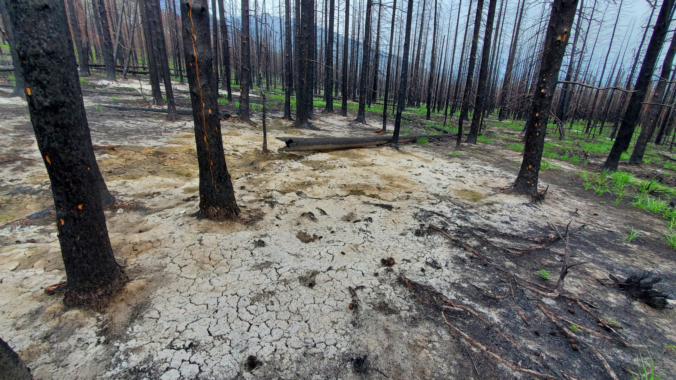
Hatfield forest fire mapping solution arboSense Fuels, in collaboration with ARTeMis Lab, Chasmer Lab, University of Lethbridge and Natural Resources Canada.

Hatfield announces first release of innovative forest fuels mapping solution

October 3, 2023 by

Interested in joining our innovative team?

Career Opportunities
  • Home
  • About
  • Projects
  • News
  • Careers
  • Contact
  • Agent Orange

Sectors

  • Forestry
  • Infrastructure
  • International Development
  • Marine
  • Mining & Exploration
  • Oil & Gas
  • Pulp & Paper
  • Renewable Energy

Services

  • WATER
  • Effects Monitoring & Ecotoxicology
  • Fish & Fish Habitat
  • Hydrogeology
  • Hydrology
  • Marine Ecology
  • Marine & Coastal Infrastructure
  • Regulatory Permitting
  • LAND
  • Forest Management
  • Infrastructure Development
  • Regulatory Permitting
  • Terrestrial Ecology
  • PEOPLE
  • Climate Change
  • Community Health & Wellbeing
  • Indigenous Relations
  • Socio-Economics
  • TECHNOLOGY
  • AI and Computer Vision
  • Data Analytics
  • GIS & Mapping
  • Remote Sensing
Copyright © Hatfield Consultants
  • Terms & Conditions
  • Privacy Policy
  • About
    ▼
    • At A Glance
    • Management Team
    • Board of Directors & Ownership
    • Our History
    • Corporate Social Responsibility
    • Quality Management
    • Health & Safety
    • Environmental Policy
    • Indigenous Relationships
    • Regions
      ▼
      • Canada
      • Indonesia
      • Africa
  • Services
    ▼
    • Water
      ▼
      • Effects Monitoring & Ecotoxicology
      • Fish & Fish Habitat
      • Hydrogeology
      • Hydrology
      • Marine Ecology
      • Marine & Coastal Infrastructure
      • Regulatory Permitting
    • Land
      ▼
      • Forest Management
      • Infrastructure Development
      • Regulatory Permitting
      • Terrestrial Ecology
    • People
      ▼
      • Climate Change
      • Community Health & Wellbeing
      • Indigenous Relations
      • Socio-Economics
    • Technology
      ▼
      • AI & Computer Vision
      • Data Analytics
      • GIS & Mapping
      • Remote Sensing
  • Sectors
    ▼
    • Forestry
    • Infrastructure
    • International Development
    • Marine
    • Mining & Exploration
    • Oil & Gas
    • Pulp & Paper
    • Renewable Energy
  • Projects
  • News
  • Careers
    ▼
    • Careers at Hatfield
    • Current Opportunities
    • Why Work at Hatfield?
  • Contact