August 11th, 2021
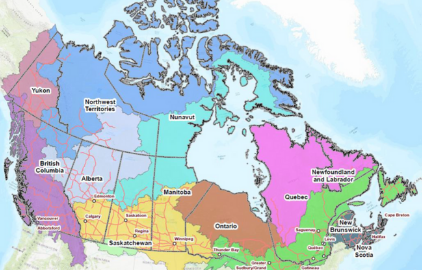
Hatfield supports Natural Resources Canada with the development of Starter Kits for the Canadian Geospatial Data Infrastructure (CGDI) which helps Canadians access geospatial datasets
Hatfield supports Natural Resources Canada (NRCan) with the research and development of Canadian...
April 21st, 2021
Hatfield welcomes Olivier Tsui to the partnership
Hatfield is pleased to welcome Olivier Tsui, MSc to the partnership as Associate...
April 8th, 2021
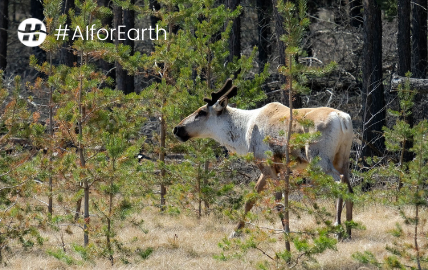
Hatfield receives grant from Microsoft’s AI for Earth program, accelerating our work in caribou habitat disturbance mapping in northern Canada
A grant from Microsoft’s AI for Earth program will support Hatfield’s work on...
November 12th, 2020
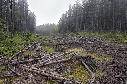
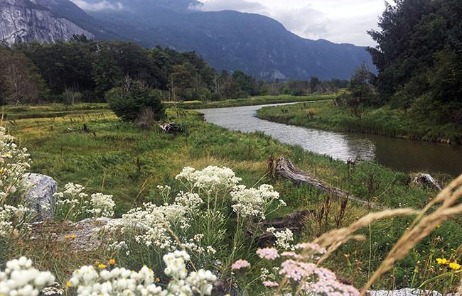
Deep learning for Caribou habitat disturbance mapping
Hatfield’s new research project applies deep learning to identify linear disturbances in Woodland...
April 20th, 2020
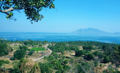
Hatfield to conduct substantial review of coastal and marine habitat protection, restoration and enhancement within the Indonesian Sea Large Marine Ecosystem (ISLME) region
The Indonesian Sea Large Marine Ecosystem (ISLME) is one of 66 globally designated...
April 20th, 2020
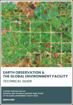
Hatfield develops a technical guide on Earth Observation and the Global Environment Facility
A new Earth observation publication was released this month, developed for the Scientific...
April 20th, 2020
COVID-19 update
At Hatfield, the Health and Safety of our employees, clients, and sub-contractors is...
January 24th, 2020
Hatfield at the BC Natural Resources Forum
Hatfield is participating at the BC Natural Resources Forum from Wednesday, January 29th to Thursday 30th,...
January 21st, 2020
Hatfield at AME Roundup 2020
Hatfield is participating at the Association for Mineral Exploration Roundup 2020 from Monday,...
December 4th, 2019
Landsat big data analysis presented at PTAC Ecological Issues Forum
Vegetation recovery assessment for disturbance features in an area of Northeast BC Hatfield...
August 27th, 2019
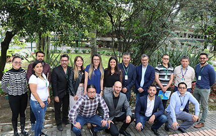
Hatfield leads workshop in Bogota, Colombia focused on advances in remote sensing technology for sustainable development applications
As part of the Earth Observation for Sustainable Development (EO4SD) – Fragility, Conflict...
December 7th, 2018
United Nations and Hatfield co-author Guide on Spatial Technologies for Disaster Risk Management for Aquaculture
Hatfield collaborated with the Food and Agriculture Organization (FAO) of the United Nations...
